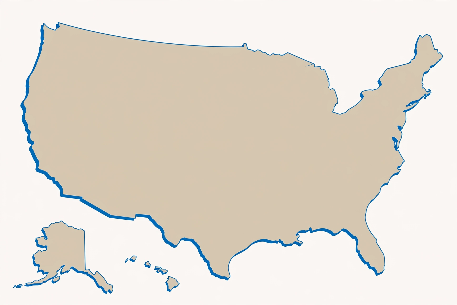
Landlocked States, Borders and Coastlines
Most map mistakes do not come from a bad memory. They come from a missing anchor. When a state has no coastline, no famous city on the edge of the map, and a shape that looks like its neighbor, your brain has nothing to hold on to. It guesses. This guide gives you anchors that actually work: direction, coast, and border type. You will learn what landlocked really means, how to read the ten tricky pairs as a border matrix, and how to use coastlines and rivers as quick checks before you answer.
If you want to test yourself after reading, the pairs quiz at the end of this guide is the fastest way to lock the directions in. First, though, learn the system. A single direction word, north or south, east or west, inland or coastal, is often enough to end a mix-up for good.
What Does Landlocked Mean?
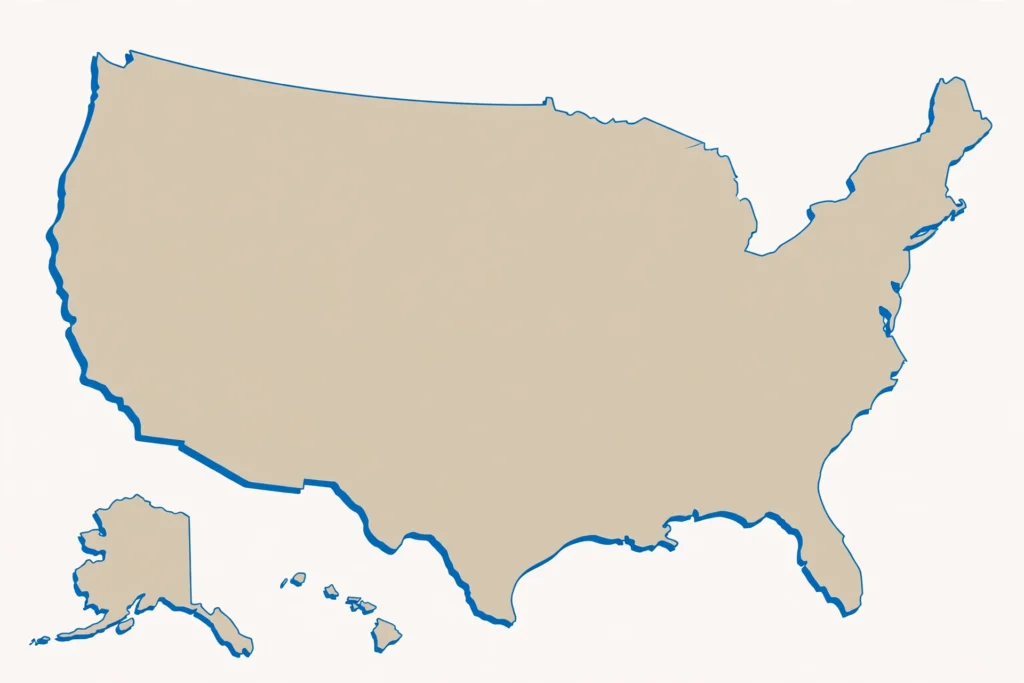
A landlocked state touches no ocean. It has no seacoast, no beach on the Atlantic, Pacific, or Gulf, and no direct access to the sea from its own borders. That is the whole definition, and it is worth keeping plain, because learners often confuse three different ideas.
First, landlocked does not mean landlocked from water altogether. A landlocked state can still have lakes and rivers. It simply does not touch an ocean. Second, landlocked does not mean isolated. A landlocked state can sit in the middle of a busy region, with neighbors on every side and major roads and rivers running through it. Third, landlocked does not mean small. Some inland states are very large. Size and sea access are different questions.
Why does this confuse learners? Because on a map, the eye looks for an edge. Coastlines are easy edges. The Atlantic on the right, the Pacific on the left, and the Gulf along the bottom give you instant orientation. Take that edge away, and two inland states can look like the same rectangle twice. You are left with only their position relative to each other, and that is exactly the skill this guide trains.
A useful habit is to ask, before you name a state, whether it touches the sea. If the answer is no, you have already ruled out every coastal state. If the answer is yes, you have ruled out every inland state. That one question cuts the map in half.
Two Worked Examples: West Virginia and Vermont
West Virginia is landlocked. It sits in the Appalachian Mountains, fully inland, with no ocean border at all. That fact alone separates it from Virginia, its coastal namesake. Virginia touches the Atlantic. West Virginia does not. If a question asks which Virginia is landlocked, the mountain state is the answer, and the coast is the proof.
Vermont is also landlocked. It sits in New England, west of New Hampshire, and it has no ocean coastline. New Hampshire, by contrast, touches the Atlantic, even though its ocean coastline is short. The contrast is small on the map and large in a quiz. Vermont, no coast. New Hampshire, a coast. Once you know that, the pair stops being a coin flip.
These two examples show the method. Do not start with shape. Start with coast. Ask whether the state touches the sea, then ask where it sits relative to its pair partner. For West Virginia, inland beats coastal Virginia. For Vermont, inland beats coastal New Hampshire. The same coast check helps with other pairs too, as you will see below.
This guide does not publish a full 50-state landlocked list. Most interior states are landlocked in the general sense, but a complete list needs a verified border check for every state. What you get here is better for learning: the rule, two clear worked examples, and a direction system you can apply to any pair.
The Border Matrix: Ten Pairs in Direction Words
A border matrix sounds technical, but it is just a habit of describing pairs with direction words. North, south, east, and west are more reliable than shape, because shape can blur on a small map while direction stays true. Use the table below as a reading drill. Cover the right-hand column, read the pair, and say the direction out loud before you check.
| Pair | Direction rule to remember |
|---|---|
| Vermont and New Hampshire | Vermont sits west, New Hampshire sits east and touches the Atlantic. |
| North Dakota and South Dakota | North Dakota sits above South Dakota, and South Dakota sits above Nebraska. |
| North Carolina and South Carolina | North Carolina sits above South Carolina. |
| Virginia and West Virginia | Virginia is coastal, West Virginia is inland in the mountains. |
| Kansas and Nebraska | Kansas sits below Nebraska. |
| Illinois and Indiana | Illinois sits west, Indiana sits east next to Ohio. |
| Iowa and Idaho | Iowa sits in the Midwest, Idaho sits far west in mountain country. |
| Montana and Minnesota | Montana sits west, Minnesota sits east in lake country. |
| Washington and Washington DC | Washington state sits in the Pacific Northwest, DC sits on the East Coast as a federal district, not a state. |
| Arkansas and Alaska | Arkansas sits in the South, Alaska sits far north. |
Read that table slowly and notice the pattern. Most pairs are solved by one direction word. North Dakota is north. South Carolina is south. Indiana is east. Kansas is south of Nebraska. You do not need a long story for each pair. You need the direction, and then you need to practice it until it is automatic.
One more direction fact belongs here, because it surprises many learners. Maine borders only New Hampshire among US states. Maine also touches Canada and the Atlantic, but among its fellow states, New Hampshire is the only neighbor. That is a useful anchor in New England. If you are in Maine and you cross into another US state by land, you are entering New Hampshire. There is no other land route to a different state.
The Eight-Border States
Some states are border hubs. They touch many neighbors, and that makes them useful landmarks. Tennessee and Missouri each border eight states, tied for the most. That tie is worth remembering, because it gives you two strong anchors in the middle of the map.
Why does this help with tricky pairs? Because a high-border state is a crossroads. If you can place Tennessee or Missouri, you can work outward to their neighbors. You do not need to memorize every neighbor to use the fact. You need to know that these two states sit at busy junctions, so when a question involves a state near them, you can orient yourself from the junction rather than from a blank edge.
The opposite idea is just as useful. A state with very few neighbors is easier to fence in. Maine, with only New Hampshire as a US-state neighbor, is fenced in on one side by land and on the other sides by Canada and the sea. That narrow set of neighbors makes Maine easier to place than a state in the middle of a crowded region. Few neighbors means fewer choices, and fewer choices means fewer mistakes.
Coasts as Orientation Anchors
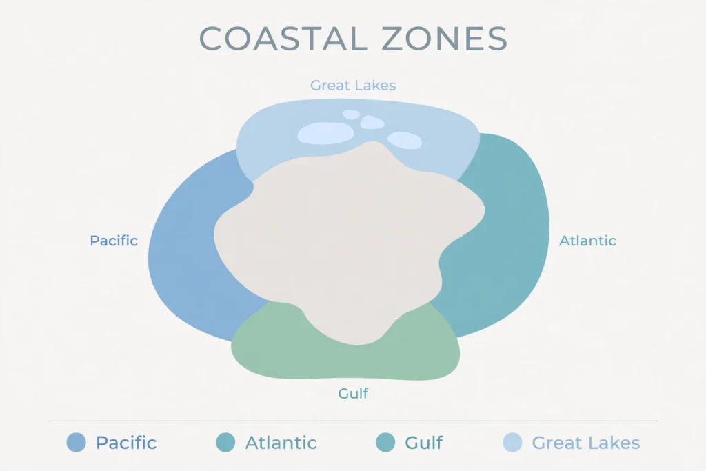
Coastlines are the map’s natural edges, and there are four main coast types to use as anchors. The Atlantic coast runs down the east side of the country. The Pacific coast runs down the west side. The Gulf coast runs along the south, facing the Gulf of Mexico. The Great Lakes coasts sit inland, along the large lakes in the north, and they act like inland seas for orientation, even though they are not ocean coasts.
Each coast gives you a different clue. Atlantic states sit on the east, Pacific states on the far west, Gulf states along the southern shore, and Great Lakes states around the northern lakes. If you know which coast a state touches, you know which side of the map it belongs on.
Now apply the coast check to the tricky pairs. Vermont and New Hampshire: Vermont has no coast, New Hampshire has an Atlantic coast, one of the shortest ocean coastlines in the country. No number is needed here, because sources measure coastlines in different ways, and the exact figure changes with the method. The useful fact is the contrast itself: one has a coast, the other does not, and the one with the coast is New Hampshire.
Virginia and West Virginia: Virginia is coastal, West Virginia is inland. Washington and Washington DC: Washington state sits on the Pacific coast in the Northwest, while DC sits on the East Coast as a district on the Potomac, not a state. In each case, the coast check splits the pair before shape or name can confuse you.
Maine adds a third New England coast picture. Maine has a long, jagged coast, full of inlets and peninsulas, quite different from New Hampshire’s short stretch and Vermont’s lack of coast. If you picture New England as a coastline story, it reads clearly: Vermont, no coast; New Hampshire, a short coast; Maine, a long jagged coast. That three-step story is easier to remember than three separate facts.
The “which coast am I on” check is simple to use in a quiz. Before you answer, ask: Atlantic, Pacific, Gulf, Great Lakes, or none? If you can answer that, you have narrowed the map to one edge, or to the inland middle. From there, direction does the rest. Coast first, direction second, name last. That order prevents the most common error, which is naming a state from its name alone and only later realizing it sits on the wrong coast.
Rivers as Borders
Not all borders are straight lines drawn by surveyors. Many borders follow rivers, and rivers wiggle. That wiggle is a clue. When a border follows a river, it curves, bends, and changes direction in a way a straight survey line never does. Learning which borders are rivers helps you read a blank map, because a wiggly border tells you water is nearby.
The Mississippi River forms the wiggly western border of several riverside states. It runs south through the middle of the country, and states along it use the river as their edge. That is why their western borders look curved rather than straight. If you see a long, curving western border in the middle of the map, think Mississippi first.
The Ohio River is another river border. It runs along the southern edge of states like Ohio, Indiana, and Illinois, and along the northern edge of Kentucky. A river border like this separates states that otherwise sit close together, and it gives you a water line to follow when the shapes blur.
The Red River gives a more specific rule for Texas and Oklahoma. The border there follows the south bank of the Red River, not the middle of the river. That detail matters for surveyors and for history, and for learners it is a reminder that river borders are not always drawn down the center. The rule can sit on one side of the water, and that side is part of the border’s story.
The Connecticut River separates Vermont and New Hampshire. It runs between them, so the river itself is the pair’s dividing line. That is a clean, memorable image: two states, one river between them, Vermont on the west side and New Hampshire on the east side. When you picture the pair, picture the river first and the states second.
Rivers also explain why some borders look messy while others look tidy. A river border follows nature, so it bends. A survey border follows a line of latitude or longitude, so it runs straight. Once you know which kind of border you are looking at, the map starts to make sense as a mix of natural curves and human straight lines, not as a random puzzle.
Four Corners: The Only Four-State Point
Four Corners is the only point in the United States where four states meet at a single point. That point brings together Arizona, Colorado, New Mexico, and Utah. Stand at the marker and you can, in principle, be in four states at once, with each state occupying one quadrant around the point.
For learners, Four Corners is useful because it is unique. There is no second four-state point to confuse it with. If a question asks where four states meet, there is only one answer. If a question asks which states meet at Four Corners, the set is always the same four. Uniqueness makes a fact easier to store, because there is no near-miss alternative to compete with it.
Use Four Corners as a western anchor. Once you can place those four states around their shared point, you have a frame for the Mountain West, and it fixes the east-west order of Arizona and New Mexico.
Frequently Asked Questions
Which states are landlocked?
A landlocked state is one that touches no ocean. West Virginia and Vermont are two clear examples used in this guide: West Virginia is landlocked in the Appalachian Mountains, and Vermont is landlocked in New England, west of New Hampshire. Most interior states are landlocked in the general sense, but this guide does not publish a full 50-state landlocked list, because a complete list needs a verified border check for every state. Use the rule and the examples here, and apply the coast check, does it touch the sea, to any state you are unsure about.
Which state borders the most states?
Tennessee and Missouri each border eight states, tied for the most. That tie makes both states useful landmarks. If you can place Tennessee or Missouri, you can orient yourself toward their neighbors and work outward across the middle of the map.
Which state borders only one state?
Maine borders only New Hampshire among US states. Maine also touches Canada and the Atlantic Ocean, but if you count only fellow states, New Hampshire is its sole neighbor. That makes Maine unusually easy to fence in: cross from Maine into another US state by land, and you must be entering New Hampshire.
Does Vermont touch the ocean?
No. Vermont does not touch the ocean. It is landlocked. New Hampshire, its eastern neighbor, does touch the Atlantic, with one of the shortest ocean coastlines in the country. That contrast, Vermont with no coast and New Hampshire with a coast, is one of the fastest ways to tell the pair apart.
How can coastlines help me learn the map?
Use coast as your first filter. Ask whether a state touches the Atlantic, the Pacific, the Gulf, the Great Lakes, or no coast at all. That single answer narrows the map to one edge or to the inland middle. Then use direction, north or south, east or west, to finish the placement. Coast first, direction second, name last.
Why do some borders wiggle and others run straight?
River borders wiggle because they follow water. The Mississippi, Ohio, Red, and Connecticut rivers all create curving borders where they separate states. Survey borders run straight because they follow lines drawn by people, such as lines of latitude and longitude. A wiggly border usually means a river, and a straight border usually means a survey line.
Put Direction and Coast to Work
Direction and coast are not trivia. They are the two fastest filters on a blank map, and they solve more mix-ups than memorizing shapes ever will. Start with the coast check, add one direction word, and only then name the state. Practice that order on the ten pairs in the matrix above, two pairs at a time, until the direction comes out without thinking.
When you are ready to test the system under quiz conditions, try the pairs quiz to lock it in. The Tricky Pairs Quiz turns each direction rule in this guide into a timed choice, and the full us states quiz homepage lets you practice the same coast and direction checks across all fifty states.
One Comment